Welcome to Brit On The Move™, a travel website dedicated to helping you escape the office and travel more for less.
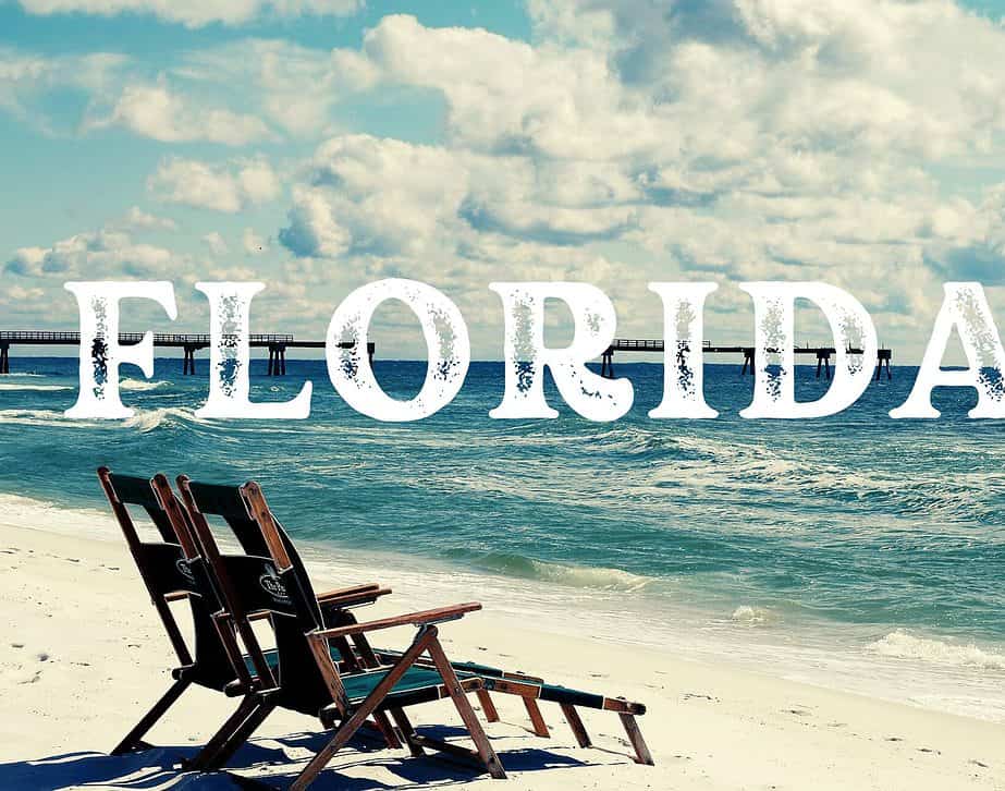
Nikki Webster is a solo travel writer who covers how to travel the world without breaking the bank using clever travel tips and off-the-beaten-track experiences. She is particularly fond of Florida and writes extensively about the state. She flies around 60,000 miles annually and has visited 78 countries, 50 states, and six continents.

Travel Hacks, Travel Tips & Travel Deals by Brit On The Move™
I am Nikki. A professional travel writer who loves adventure lives for off-the-beaten-track experiences and calls Florida and England home while exploring the world.
By day, you’ll find me on some crazy adventures like swimming with sharks in the Galapagos Islands, navigating Florida’s coastline on my boat, kayaking the Florida springs, or exploring the English countryside, sampling a variety of glamping sites. By night, I’m often around a fire or seeking night-themed adventures like night fishing, skinny dipping, or soaking in wood-burning hot tubs.
If you’re looking for an online publication and community that focuses on how to travel more for less using a variety of travel hacks and exploring lesser-known attractions, you’ve come to the right place. This award-winning travel publication and community is all about adrenaline adventures, unusual accommodations, and weird and wonderful experiences.
Brit on the Move™ will help you:
- Master the travel tips that professional travelers use to travel the world
- Learn how to travel using points from credit cards and loyalty programs
- Discover how to find the best travel deals that accomplish your travel goals
- Gain expert knowledge and travel tips about destinations you are considering
- Get genuine travel tips, honest reviews, and advice – for FREE
Brit on the Move™ will not:
- Share articles or content that is biased, skewed, or misleading
- Try to sell you the dream of traveling the world for free, or try to make you believe that is an easy task
- Attempt to convince you to quit your job and become a digital nomad
- Email you spam and useless information that clogs your email.
- Encourage you to start a website or blog
Popular Content From Brit On The Move™

10 Reasons to Stay with Sunnydale Holidays Near Knaresborough North Yorkshire

A Paris Vacation: Beyond the Surface – Uncovering Local Life and Culture

Urquhart Castle – The Jaw-dropping Castle On The Bank Of Loch Ness

The Illusive Scottish Pyramids: The Balmoral Cairns – Unveiling Scotland’s Royal Monuments
Latest From Brit On The Move™


As Featured In


Explore Brit On The Move™


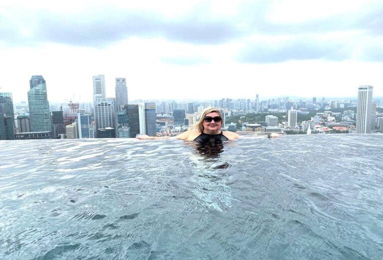 Singapore
 Brazil


 South Africa
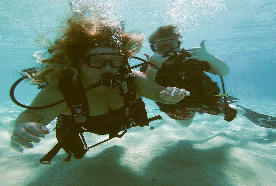 The Caribbean
 Indonesia

Brit On The Move’s™ Philosophy